
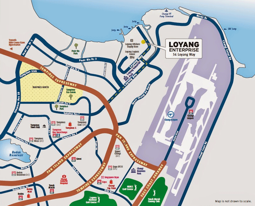
Location Map
Ahead Of Time
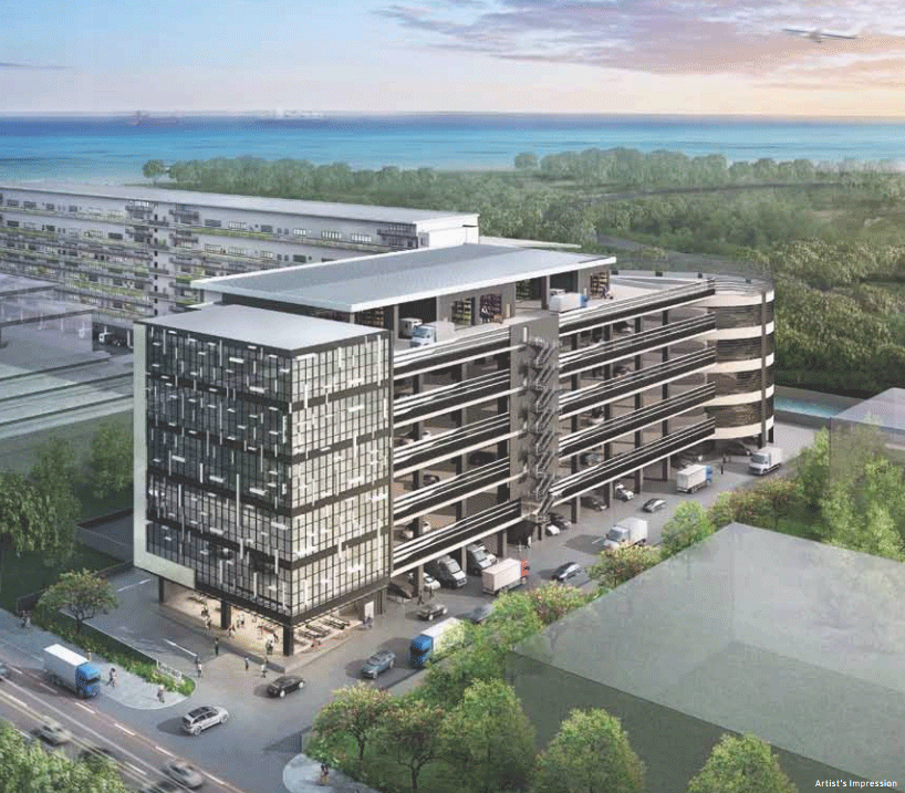
01 First government strata-titled land release for the past half decade
02 Upcoming Eastern Region, Downtown Line (estimated completion in 2020)
03 9-min drive to Changi International Airport
04 11-min drive to Tampines Regional Centre/Changi Business Park
05 Mins to major expressways: TPE/PIE/ECP
06 25-min drive to Central Business District

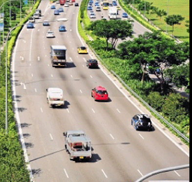
ACCESSIBLE TO TPE/PIE/ECP
Island-wide accessibility via major expressways
PASIR RIS INTERCHANGE
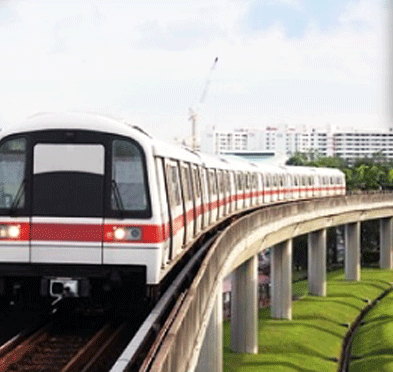
Accessibility to public transportation
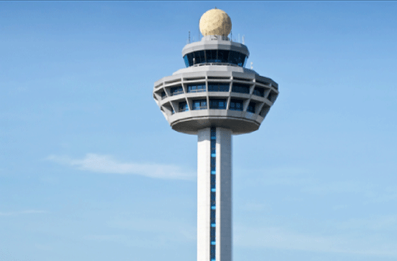
NEAR AIRPORT
15 minutes drive to Changi Air Freight Centre

UPCOMING EASTERN REGION LINE
Connectivity via MRT. This line runs from Marina Bay, passing through Tanjong Rhu, Siglap, Marina Parade and Bedok before ending at Changi
UPCOMING DOWNTOWN LINE
Connectivity to the city. This line connects nortwestern and eastern regions of Singapore to the new downtown at Marina Bay in the south and to the Central Business District (CBD)
CANTEEN WITHIN BUILDING AND NEARBY FOOD COURT
Replenish your energy anytime during office hours conveniently.
Amenities
TRANSPORTATION
- Telok Paku Road
- Changi Coastal Road
- Pan Island Expressway (PIE)
- Tampines Expressway (TPE)
- Kallang-Pây Lebar Expressway(KPE)
- East Coast Parkway(ECP)
RECREATIONAL AMENITIES
- Loyang industrial area
- Changi Business Park
- Changi International Logistics Centre
- Downtown East
- White Sands
- Loyang Tua Pek Gong