

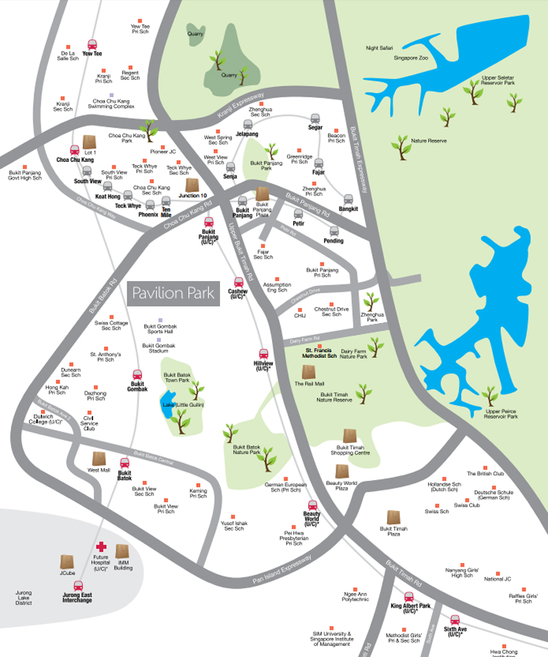
Pavilion Park's Location Map:
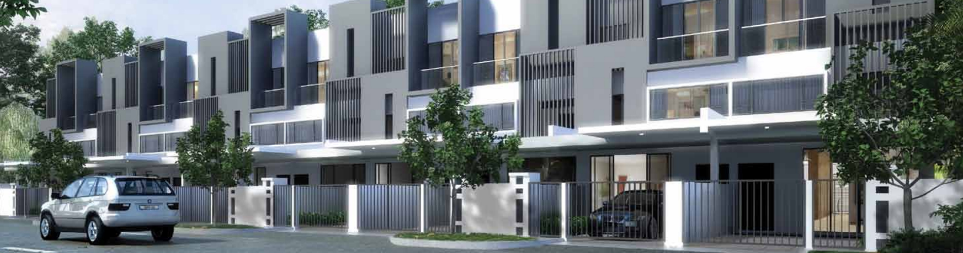
Encircled by serenity, close to the heart of splendour.
Lush greenery, soothing waters, resplendent views – be surrounded by the bounties of nature while enjoying the shopping, dining and travelling conveniences of privileged living @ Pavilion Park.
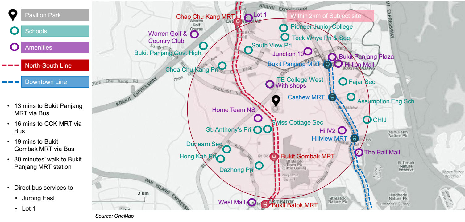
Connectivity
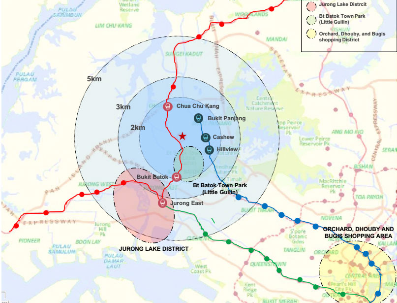
Travelling Time
By Car:
- 10 minutes to JEM, Westgate, IMM, JCube, Bigbox
- 30 minutes to Raffles Place
- 30 minutes to Orchard, Dhoby Gaut and Bugis shopping precincts
By Public Transport
- 30 minutes to JEM, Westgate, IMM, Jcube, Bigbox (bus)
- 54 minutes to Raffles Place (bus+train)
- 44 minutes to Orchard MRT station (bus)
Pavilion Park's Amenities:
TRANSPORTATION
- Bukit Gombak
- Bukit Panjang
- Phoenix BP5
- Keat Hong BP3
- Teck Whye BP4
Shopping Centres
- West Mall
- Lot 1 Shoppers’ Mall
- Junction 10
- Bukit Panjang Plaza
- Hillion Mall
SCHOOLS
- St. Francis Methodist School
- Swiss Cottage Secondary School
- St. Anthony's Primary School
- Dazhong Primary School
- Civil Service Club
- Hong Kak Primary School
Recreational Amentities
- Bukit Gombak Stadium
- Little Guilin(Park)
- Bukit Batok Town Park
- Warren Golf Club
- Polyclinic (Bukit Batok) / CCK
- Choa Chu Kang Community Library